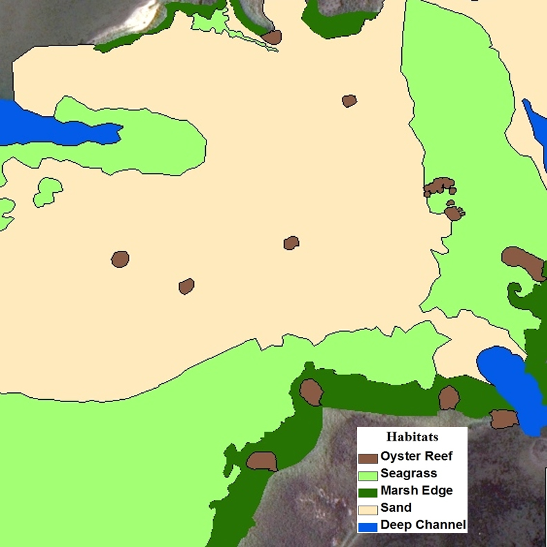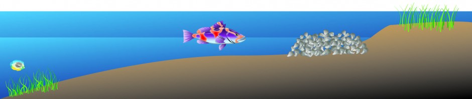
This is the first lesson plan in the four-part series. Students will learn to identify oyster reef, saltmarsh, seagrass, and sandflat habitats and will determine the value of each habitat to fish. Students will collect data from a short film of a fish swimming around coastal North Carolina, process and interpret those data, and use supplementary maps to evaluate habitat value. By following a fish and its viewpoint (think fish-cam) around an area where all four habitats exist, students will measure the amount of time the fish spends at each habitat and use that as a proxy for habitat value. The movie and links to all of the necessary materials are below. Start off by reading through the lesson plan.
Lesson plan: Fish Habitat Value Lesson Plan
Student handout: Student_hand_out
Fish tracking table: Fish_tracking_Table_1
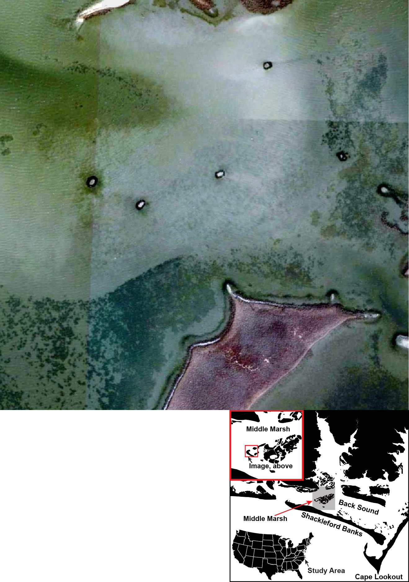
Study area map:
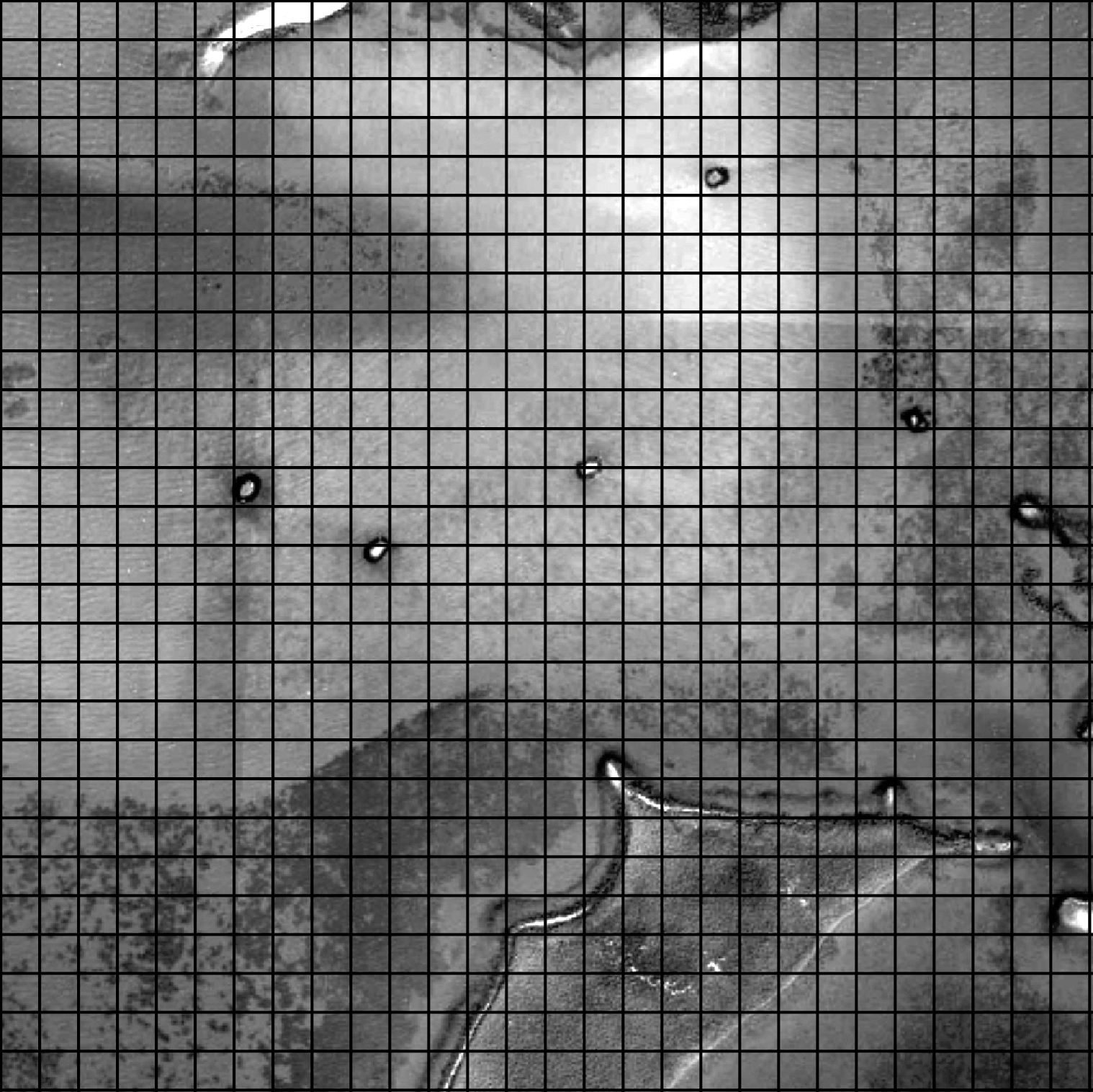
Study area map gridded:
Habitat map: